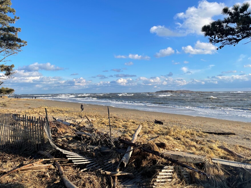
As Hurricane Erin moves up the East Coast, the National Weather Service has issued a high surf and high rip current risk advisory for the entire Maine coast until Saturday.
The system will create big, strong waves that make swimming hazardous, but it won’t bring rain or even cloud cover.
The hurricane is churning offshore, producing what is known as a long period swell, which has bigger and stronger waves than usual, according to Derek Schroeter, a meteorologist with the National Weather Service in Gray.
“Looking out on a day where you see waves roll in every five or six seconds, here we’re looking at waves rolling in every 15 to 17 seconds,” he stated. “And so that longer period allows there to be more power with each incoming wave.”
Additionally, Schroeter predicted that people would flock to the beach as temperatures rose into the 70s and 80s later this week.
“People may be wandering out onto jetties to look at the surf,” he stated. “It may not look too, too bad, and then all of the sudden a bigger set of waves will move in and catch people off guard.”
According to Schroeter, there may be some splash over or moderate coastal flooding, especially on Friday night when the worst waves and high tide are predicted.
People who plan to visit the beach this week are being advised by several communities to exercise caution. Others, like York Beach, have a red flag, which indicates that swimming is not permitted even though the beach is open.